

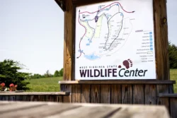
Over the last two years, the West Virginia Division of Natural Resources (WVDNR) has added more than 31,200 acres to the state’s public lands with the creation of seven new wildlife management areas (WMAs) and expansion of four existing WMAs in District 6.
“These WMAs are extremely important for wildlife conservation and greatly increase opportunities for folks to enjoy outdoor recreation, such as hunting, trapping, fishing and wildlife viewing,” said Jerry Westfall, a wildlife biologists for the WVDNR’s sixth district.
The new WMAs in District 6, a 10-county area in the western part of the state, include:
- Burning Springs (Wirt County)
- Federal Ridge (Pleasants County)
- Little Kanawha River (Wirt and Calhoun counties)
- Lynn Camp (Wirt County)
- Sandy Creek (Jackson County)
- Toll Gate (Ritchie and Doddridge counties)
- Walker Creek (Wood and Wirt counties)
The WVDNR also has expanded four existing WMAs in the district, including Frozen Camp (Jackson County), Hughes River (Ritchie and Wirt counties), Ritchie Mines (Ritchie County) and Sand Hill (Pleasants, Wood and Ritchie counties).
Hunting access to these areas, which include former commercial forestlands, was limited in the past. The WVDNR acquired the properties in 2020, using hunting and fishing license fees, Federal Sport Fish and Wildlife Restoration Act funding and impact fees from pipeline development companies. Access to these new and expanded WMAs is free to the public.
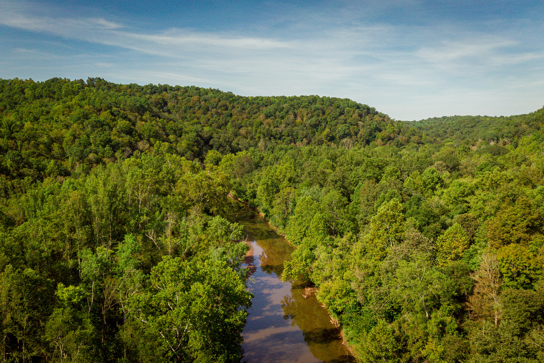
A highlight of the purchases is the 8,255-acre Little Kanawha River WMA, which is managed as an older-aged deer management area where the buck harvest is restricted to animals with a minimum outside antler spread of 14 inches (approximately ear tip to ear tip).
“Many hunters enjoy hunting in areas where bucks are allowed to mature to a certain antler size before harvest, so we expect the Little Kanawha River WMA to become really popular,” Westfall said.
The new WMAs also increase fishing access to large water bodies, such as the Little Kanawha River and Hughes River and access to WMAs from the North Bend Rail Trail, which runs through parts of the district.
Hunters, trappers, anglers and other wildlife enthusiasts are encouraged to check out maps to the District 6 WMAs. To download WMA topographic maps of the areas, go to WVdnr.gov/gis-mappingor use the WVDNR’s hunting map tool at mapwv.gov/huntfish. Maps also are available during regular business hours at the WVDNR District 6 Office, located at 2311 Ohio Avenue in Parkersburg.
Want to see more from our team? Save West Virginia DNR as a preferred source in Google