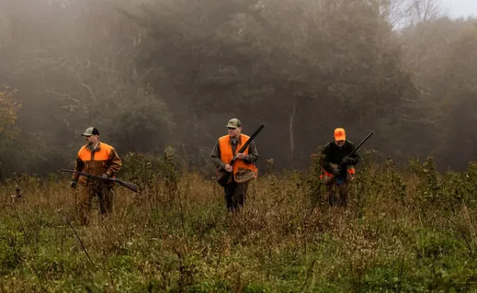
Hunters who are looking for a place to hunt on wildlife management areas and other public hunting lands in the Mountain State are encouraged to use an interactive map provided by the West Virginia Division of Natural Resources.
The map can be accessed on smartphones, tablets and computers at mapwv.gov/huntfish. It includes information about WMAs and other hunting lands, including details about terrain and game species. A search function also allows users to find check stations, public shooting ranges, Class Q hunter access roads and hiking trails throughout the state.
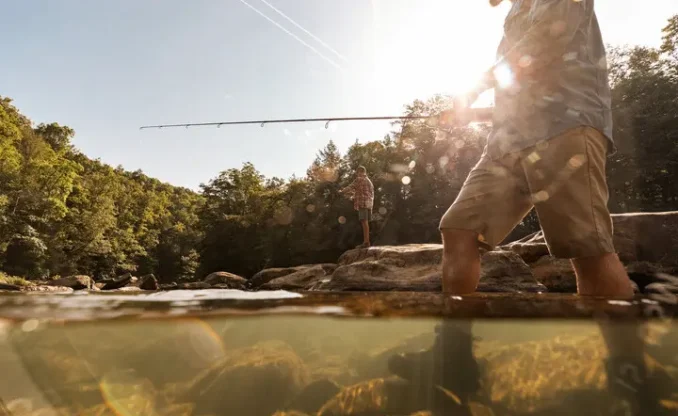
The interactive map also can be used by anglers, boaters and hikers and provides topographic data, fishing and boating access sites, trout-stocked streams and public fishing lakes and nearby amenities.
A connection to the Internet is required to use the map, but users can download a PDF, which can be loaded into Avenza Maps or used offline.
To assist hunters and anglers with using the map, the WVDNR has recorded the in-depth video review below. Check it out.
Ready for a hunting adventure in West Virginia? Buy your license today at wvhunt.com.


